
Best Hikes in La Palma (2026): Caldera de Taburiente, Volcanoes & Los Tilos
La Palma's best hikes and how to reach them: the Caldera taxi to Los Brecitos, La Cumbrecita parking booking, the Ruta de los Volcanes, the guided-only Tajogaite crater and the Marcos y Cordero shuttle.
Some links in this guide are affiliate links: if you book through them we may earn a commission at no extra cost to you. It never changes what we recommend. Full disclosure.
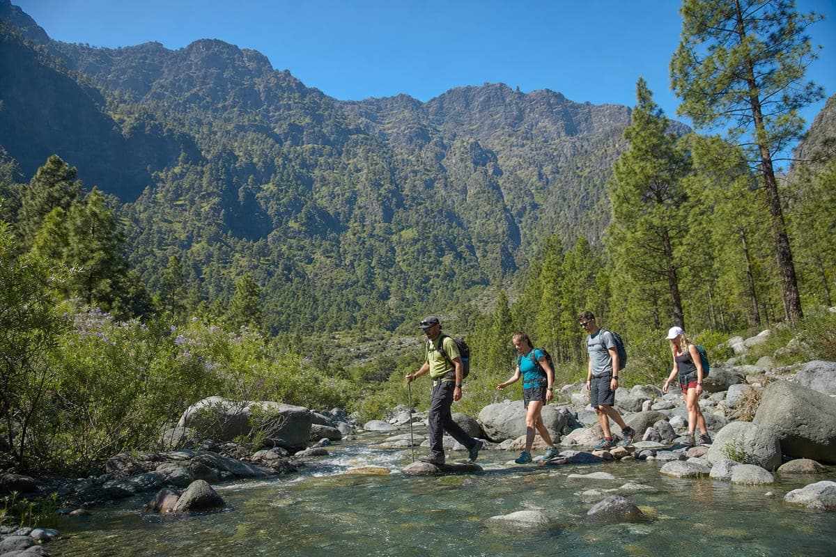
A car is close to essential for hiking La Palma: the Caldera car park, El Pilar and Los Tilos are on opposite sides of the island. Compare La Palma car hire ↗
What needs a booking, a taxi or a guide
La Palma has no paid trail permits like Tenerife's Masca, but several of its best walks depend on transport you have to plan: a taxi to the start, a parking slot or an authorised guide. Get these right and the island is one of the best hiking destinations in Europe.
| Route | What you need | Cost | Notes |
|---|---|---|---|
| Caldera: Los Brecitos to Barranco de las Angustias | Taxi from the Angustias car park to Los Brecitos | Shared fixed fare per vehicle (around €50) | Morning only; no parking at Los Brecitos |
| La Cumbrecita viewpoint | Free parking booking, 08:30–16:00 | Free | Book up to a month ahead |
| Tajogaite crater | Authorised guide | Guided tours from about €39 | Free viewpoint at Caños de Fuego |
| Marcos y Cordero (Los Tilos) | Shuttle taxi to Casa del Monte | Around €15 per person | Private vehicles not allowed |
| Ruta de los Volcanes (GR 131) | Transport back from the end | Free | One-way, exposed, long |
Caldera de Taburiente: Los Brecitos to the Barranco de las Angustias
This is La Palma's signature hike: from the Los Brecitos viewpoint down into the crater, past the park's campsite area at Playa de Taburiente and out along the Barranco de las Angustias, crossing the stream several times. Drive to Los Llanos de Aridane, follow signs for the Los Barros road and leave the car at the Barranco de las Angustias car park, where there is an information booth. Taxis run from there up the 13 km track to Los Brecitos in the morning only: 8:30–13:30 in summer and 9:00–12:00 in winter, at a fixed fare per vehicle that hikers usually share. You can drive up the track yourself, but parking at Los Brecitos is not permitted. It is a long, mostly downhill day that ends back at your car; do not attempt it after heavy rain, when the ravine can flood. A guided hike handles the transport and the timing.
La Cumbrecita: the easy way to look into the Caldera
La Cumbrecita is the park's most visited viewpoint, 7 km by road from the visitor centre at kilometre 23.9 of the LP-2 near El Paso. The car park is tiny, so between 08:30 and 16:00 you need a free parking booking on the national parks reservation site, available from a month ahead until the same day. Arrive between 10 minutes before and 20 minutes after your slot or the booking is cancelled. Short, easy paths from the car park lead to viewpoints such as Lomo de las Chozas, which makes this the best option for families or anyone not up to the full descent.
Tajogaite: the volcano of 2021
The crater of Tajogaite, the volcano that erupted for 85 days in 2021, can only be reached with an authorised guide: small groups walk a new path of about 5 km from Llano del Jable to a viewpoint over the crater, in around three hours. If you would rather not join a tour, the Caños de Fuego visitor centre in Las Manchas (El Paso) has exhibitions and a free viewpoint over the lava field. Wear sturdy shoes: the ash and lava surfaces are sharp and loose.
Ruta de los Volcanes: along the spine of Cumbre Vieja
The third stage of the GR 131 follows the volcanic ridge of Cumbre Vieja from the Refugio de El Pilar to Los Canarios in Fuencaliente, about 17 km, with an optional 6 km more down to the Fuencaliente lighthouse. It is one-way, exposed and has almost no shade or water, so start early, carry plenty of water and arrange your return before you set off: by taxi, by bus from Los Canarios, or by leaving a second car at the end. The car park at El Pilar is open around the clock.
Marcos y Cordero: springs and tunnels in Los Tilos
In the green north-east, this walk follows a water channel from Casa del Monte to the Marcos and Cordero springs, through a series of rock tunnels, and on down through the laurel forest of Los Tilos. Private vehicles are not allowed on the track to Casa del Monte: a shuttle taxi runs every day from the Los Tilos visitor centre car park, from about 9:00, for around €15 per person, with queues at weekends. Allow five to six and a half hours, carry a head torch for the tunnels and a waterproof layer, because some tunnels drip heavily and the path can be slippery.
Frequently asked questions
How do you get to Los Brecitos for the Caldera de Taburiente hike?
Park at the Barranco de las Angustias car park near Los Llanos de Aridane and take one of the taxis that run up to Los Brecitos in the morning (summer 8:30–13:30, winter 9:00–12:00). Parking at Los Brecitos is not allowed.
Do you need a permit to hike in the Caldera de Taburiente?
Not for day hikes. You do need a free parking booking to drive to La Cumbrecita between 08:30 and 16:00, and camping inside the park has its own authorisation.
Can you hike to the Tajogaite volcano on your own?
No. The crater trail is only open with an authorised guide. On your own, visit the Caños de Fuego visitor centre in Las Manchas for a free viewpoint over the lava field.
How long is the Ruta de los Volcanes on La Palma?
About 17 km from the Refugio de El Pilar to Los Canarios, plus around 6 km if you continue to the Fuencaliente lighthouse. It is one-way, so plan your return before starting.
Compare recommended experiences
We select these options for relevance and traveller fit. Some booking links are affiliate links, so we may earn a commission at no extra cost to you. How our recommendations work.
La Palma
La Palma Caldera de Taburiente Guided Hike
Six-hour guided hike through the Caldera de Taburiente National Park, from the Los Brecitos viewpoint to the Waterfall of Colours, with bus transfer from La Palma meeting points.
- Los Brecitos start
- Waterfall of Colours
La Palma
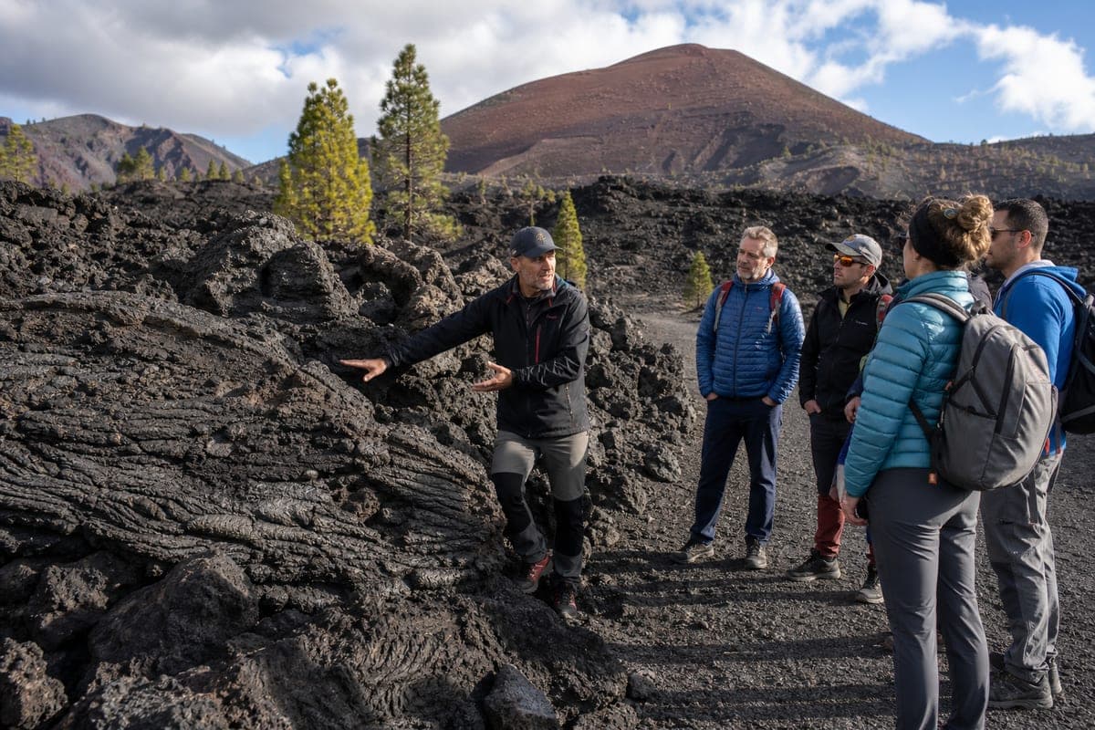
La Palma Tajogaite Volcano Essential Route
Three-hour guided walk on a 5 km circuit through ash and pine forest to a viewpoint close to the cone of Tajogaite, the volcano born in the 2021 eruption.
- 5 km circular route
- Viewpoint near the crater
La Palma
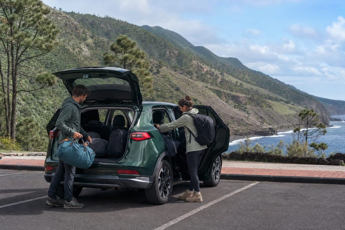
Compare Car Rental at La Palma Airport (SPC)
Compare current SPC car rental offers by total price, supplier score, deposit, pickup details and cancellation terms.
- SPC-specific offers
- Supplier ratings
Plan the rest of your La Palma trip
Useful booking links for the services currently available for this island. Attraction tickets are only shown when a specific, verified destination is available.
Find your hotel
Hotels and apartments in La Palma
Search stays →Rent a car
Compare rental cars in La Palma
Compare cars →Airport transfer
Private door-to-door taxi
Book a transfer →Travel insurance
Medical & trip cover for your Canaries trip
Get covered →Some links are affiliate links — we may earn a commission at no extra cost to you.
Planning the rest of the trip? See everything on our La Palma island page.
Continue planning
- La Palma Travel Guide: Hiking, Stars & VolcanoesEverything you need to plan a trip to La Palma — Caldera de Taburiente, stargazing, the Tajogaite eruption route and practical driving advice.3 min read
- La Palma Itinerary: 3, 5 or 7 DaysPlan Caldera de Taburiente, Roque de los Muchachos, volcanic landscapes, forests and beaches with realistic La Palma drives.2 min read
- Getting Around La Palma (2026)Plan La Palma by rental car, bus, taxi or hiking transfer while accounting for steep roads, tunnels and trail logistics.2 min read